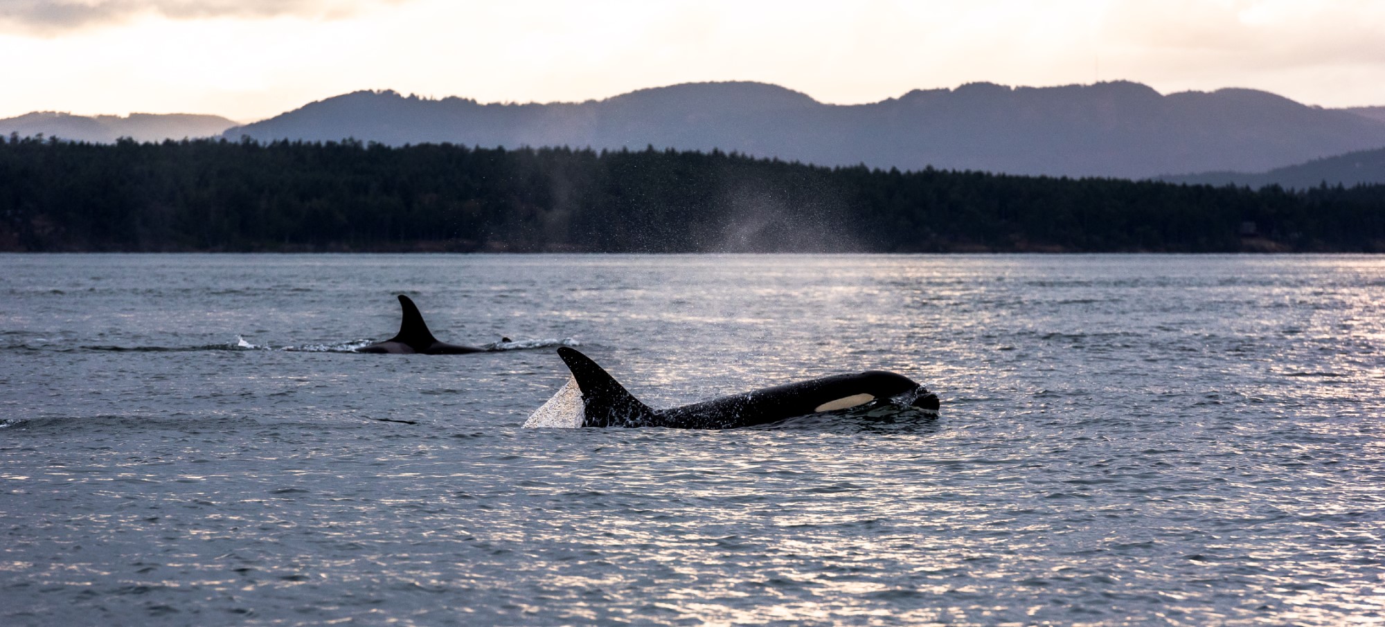
Orcas Vancouver Island, Photo Destination BC Reuben Krabbe
Bamfield
Bamfield is a small coastal community tucked away in the magnificent Pacific Rim National Park on the west cost of Vancouver Island, and although it may seem a long journey, once here you will realize it was well worth the trip. The stunning scenery surrounds you and won’t want to let you go. More than 100 rocky islands and islets make up the archipelago of the Broken Group Islands in Barkley Sound. These pristine islands can only be reached by boat and are popular with experienced ocean kayakers. The rich and abundant marine life, as well as the many old shipwrecks, makes this area a top spot for diving. Guided tours for kayaking, diving, and boating are recommended in these waters. Barkley Sound offers more tyees (salmon) than anywhere on the west coast. As well halibut and cod promise thrilling catches. The Broken Group Islands and Bamfield Harbour also offer good angling for salmon, rockfish, and halibut. Grey whales, Humpback and Killer whales migrate through the coastal waters, and porpoises, seals, sea lions, and elephant seals can be viewed along the coastline. The northern terminus of the world-famous West Coast Trail is located at Pachena Bay, 3 kilometres (2 miles) south of Bamfield. The trail is a 7 to 10-day adventure trek that draws hikers from around the world. For something slower-paced, stroll along the boardwalk in Bamfield and watch the boats go by.

Kayaking the Broken Group Islands | Kim Walker
Location
Bamfield is located in the Pacific Rim in the heart of the Pacific Rim National Park on the west coast of Vancouver Island, 89 km (56 mi) southwest of Port Alberni and 123 km (77 mi) northwest of Lake Cowichan. Bamfield is reached from either of two directions, both of which require several hours of driving on good gravel logging roads. You can drive to Bamfield on paved highway via Highway 4 from the east as far as Port Alberni, and thereafter on well-maintained gravel roads south of Port Alberni to Bamfield; or along the route west of Lake Cowichan via Nitinat Lake. The M.V. Lady Rose also provides passenger ferry service from Port Alberni to Bamfield several times a week with additional sailings in the summer months.
A Step Back in Time
Bamfield is populated by the Nuu-Chah-Nulth people, who occupied large villages in the Broken Group and Deer Group Islands and at Execution Rock, Cape Beale and Grappler Inlet. Prior to contact with Europeans, the native population of Barkley Sound is estimated to have been between 3,000 and 5,000. Village sites, middens, fish traps, culturally modified trees, lookouts and fallen longhouses remain as part of the rich cultural heritage. Europeans founded a small fishing community here sometime in the late 1800s.
Bamfield was named after the first government agent of the area, Edder Banfield. In 1902, the Bamfield Cable station was constructed as the western terminus of a worldwide undersea cable called by some the All Red Line, as it passed only through countries and territories controlled by the British Empire, which were coloured red on the map. The cable initially went to Fanning Island, a tiny coral atoll in the mid-Pacific, and from there continued to Fiji, New Zealand, and Australia. A second building, made of concrete was built on the site in 1926 to replace the old wood structure. This building, designated a historic site in 1930, is now used by the Bamfield Marine Sciences Centre. In 1953 the cables were extended up the Alberni Inlet to Port Alberni and the station closed on June 20, 1959.
Commercial fishing was based in Bamfield until the mid 1980s, but today it is home to several sport fishing lodges. Bamfield is also the northern end of the West Coast Trail, a world-famous hiking trail built in 1907 along the west coast of Vancouver Island to help survivors of the area’s many shipwrecks find their way back to civilization. The trail runs 77 km (48 mi) along extremely rugged terrain.
Today Bamfield is primarily a tourist destination, either for the West Coast Trail, ocean kayaking or sport fishing.
Bamfield and Nearby Accommodations
British Columbia Lodging and Campgrounds Association Members
List
Map


