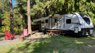
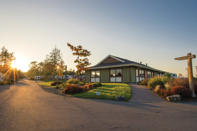
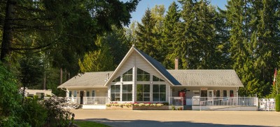
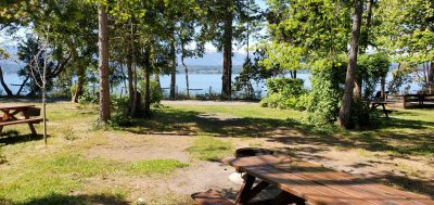
Vancouver Island, BC Photo Courtesy of Destination BC
Vancouver Island and the Gulf Islands
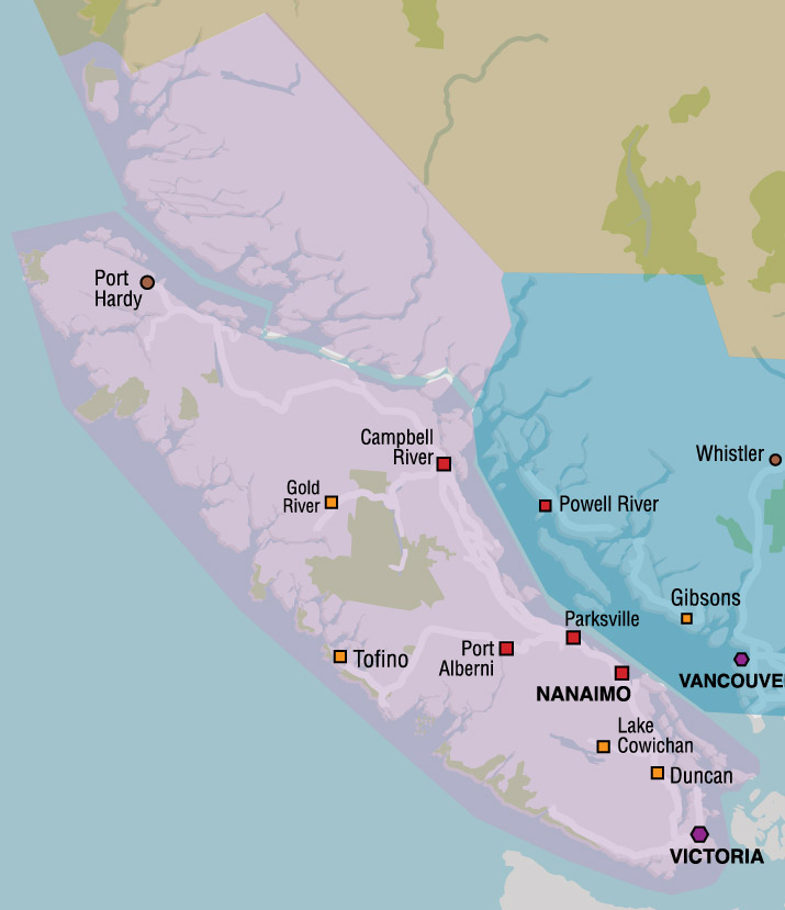
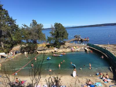
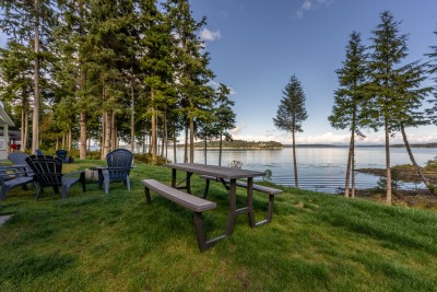
Vancouver Island and the Gulf Islands face the magnificent Pacific Ocean in all its rugged, yet calming beauty. The eastern shore lies on the Salish Sea with its idyllic warm temperatures. To the south is the Juan de Fuca Straight. People come here to get away from it all – to get on to Island Time!
Vancouver Island and the Gulf Islands offers an abundance of outdoor recreation including golfing, salt and freshwater fishing, boating, sailing, kayaking, whale watching, wildlife viewing, caving, hiking, scuba diving, skiing and the list doesn’t stop there. Whether you’re yearning for the solitude of a surf-swept beach or the charm of a rural village, the silence of the forest or the hustle and bustle of the provincial capital Victoria, you’ll find it all and much more on Vancouver Island and the Gulf Islands.
Travel to Vancouver Island is most frequently by ferries or personal pleasure boat, although flights can be taken into several land and sea airports. Taking the 90-minute BC Ferry trip from Tsawwassen, on the British Columbia Mainland, to Swartz Bay (Sidney) on Vancouver Island showcases the stunning Gulf Islands as the ferry navigates its way through the islands and with the possibility of seeing a whale or two.
Southern Gulf Islands
The Southern Gulf Islands sit in the Salish Sea, between the mainland and the eastern side of Vancouver Island. Each of these islands creates the feeling of a world unto itself; each has its own history, its own culture and list of colourful characters past and present. There are seven major islands in the southern half of the Salish Sea. Each island deserves at least a day or two for exploring and a great way to do this is by bicycle, stopping at campgrounds or accommodations along the way. More »
Victoria & South Vancouver Island
Victoria, the capital city of British Columbia, anchors South Vancouver Island. Named in honour of Queen Victoria, the city still pays tribute to its UK heritage with its vibrant English theme. Historical buildings, beautiful gardens, teahouses, British-style pubs, antiques, buskers, quirky shops and much more create a wonderful ambience in this city. The communities of Sooke and Port Renfrew, west of Victoria, display the natural splendour of the rugged West Coast Island wilderness. Northeast of Victoria is the Saanich Peninsula with major attractions including Butchart Gardens, a National Historic Site. More »
Cowichan Valley
Cowichan is located north of Victoria, along the Malahat Drive via Highway 1 (the Island Highway). Here the terrain opens up to rolling hills scattered with wineries and farms offering cheeses, vegetables and fruit, flowers and more. Along the coast are secluded coves and marinas where you can charter a boat, or enjoy a fresh seafood dinner at a friendly marine pub. There are many scenic communities to visit including Duncan, the “City of Totems”, Chemainus, where more than 30 painted murals decorate the walls around the town, and the heritage buildings lining the downtown of Ladysmith. More »
Central Vancouver Island
Central Vancouver Island features the harbour city of Nanaimo, Vancouver Island’s second-largest city and home of the sweet delectable Nanaimo Bar. This is a sea-oriented community on the east coast. Incorporated in 1874, this third-oldest city in British Columbia has many well-preserved historic buildings and sites. The sea-walk provides lots of opportunity to watch the action on the water and year-round harbour cruises will take you to see the area’s incredible sea life. Northwest of Nanaimo, Parksville and Qualicum offer miles of sandy beaches and calm waters. At low tide, the water recedes hundreds of metres, leaving the sand exposed for beachcombing. More
North Central Vancouver Island
North Central Vancouver Island stretches from Nootka Island on the west coast to the Comox Valley in the east. Traveling from coast to coast the scenery changes from lofty mountains covered in dense forests to dazzling coastal waters. Courtenay is a city that supports a large farming and fishing community. Comox, just east of Courtenay, has a dazzling air show held biannually at the Canadian Air Force base. Travel on through lush farmlands to Campbell River – a fishing enthusiast’s dream. The central part of the North Central Island is heavily treed, mountainous and dotted with large lakes. People enjoy hiking, canoeing, swimming and fishing in Strathcona Provincial Park. Travel west to the village of Gold River, a popular caving community. More »
North Vancouver Island
North Island showcases how most of Vancouver Island once looked. Much of the remaining wilderness, has been preserved. Unusual land formations dot the region and Little Huson Caves Park is the location of a number of these including sink holes, canyons, and a swift flowing river that disappears into rock. Take a trip on the M.V. Uchuck III, a converted mine sweeper that sails regularly through the scenic waterways of Kyuquot and Nootka Sound. On the northeast coast are Sayward, Port McNeill and Port Hardy, where fishing is a favourite sport. Cape Scott Provincial Park is located on the island’s northernmost tip. Telegraph Cove is the place to watch whales and kayak along the coastline. More »
Pacific Rim
Pacific Rim on the west coast, includes Ucluelet and Tofino and is accessible via Highway 4 through Port Alberni. Pacific Rim National Park, perched on the western edge of the continent, has become a place to watch for both whales and the approach of Pacific storms. There are many walks and hikes through the park, the most popular being the West Coast Trail. This six to eight-day hike is one of Canada’s toughest hiking routes and climbs through challenging terrain. You must make a reservation to tackle this trail. There are several shorter hikes through the park and coastal communities for more moderate and less adventurous hikers. Bamfield is a small community located in the heart of the Pacific Rim National Park 85 km (53 mi) from the City of Port Alberni. The popular “Boardwalk” extends along the West side of the harbour. On the way to the Pacific Rim stop in Port Alberni, then rise early, and sail on the M.V. Lady Rose down the fjord-like Alberni Inlet where you can watch eagles soar and marvel at the scenery. Just before Port Alberni, you can stop and visit the old growth forest at Cathedral Grove in MacMillan Park with 800-year-old Douglas firs. More »
Vancouver Island Gulf Isles
British Columbia Lodging and Campgrounds Association Members
List
Map
77 Listings
Explore the Communities of Vancouver Island and the Gulf Islands
- Bamfield
- Black Creek
- Bowser
- Campbell River
- Chemainus
- Comox
- Coombs
- Courtenay
- Cumberland
- Deep Bay
- Duncan
- Fair Harbour
- Fanny Bay
- Gabriola Island
- Galiano Island
- Gold River
- Heriot Bay
- Hornby Island
- Ladysmith
- Lake Cowichan
- Malahat
- Nanaimo
- Nanoose Bay
- Parksville
- Pender Island
- Port Alberni
- Port Hardy
- Port McNeill
- Quadra Island
- Qualicum Bay
- Qualicum Beach
- Quathiaski Cove
- Saanichton
- Saratoga Beach
- Sayward
- Sidney
- Sooke
- Tahsis
- Telegraph Cove
- Tofino
- Ucluelet
- Victoria
- Zeballos
